
As we drove north for 500 miles we saw dramatic changes in scenery. The White Mountains were not all that impressive from the Elliot and Dalton Highways. As we drove further, the geography became more interesting to me.
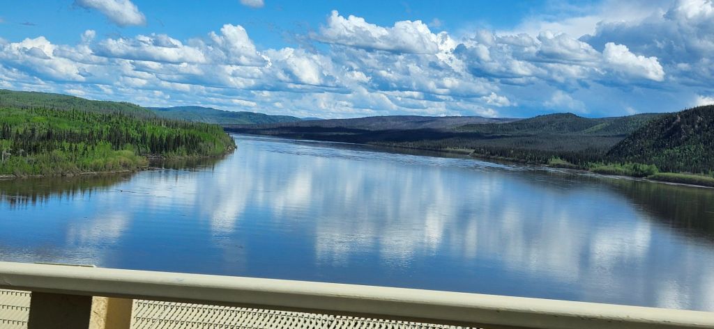
The Yukon River is nearly 2000 miles long, crossing all of Alaska and going well into Canada. I find it fascinating that some salmon travel 1800 miles to spawn, taking up to 60 days to make the trip up the Yukon. The Dalton Highway bridge is the only bridge crossing the Yukon River in Alaska. The bridge also carries the pipeline underneath the road surface.
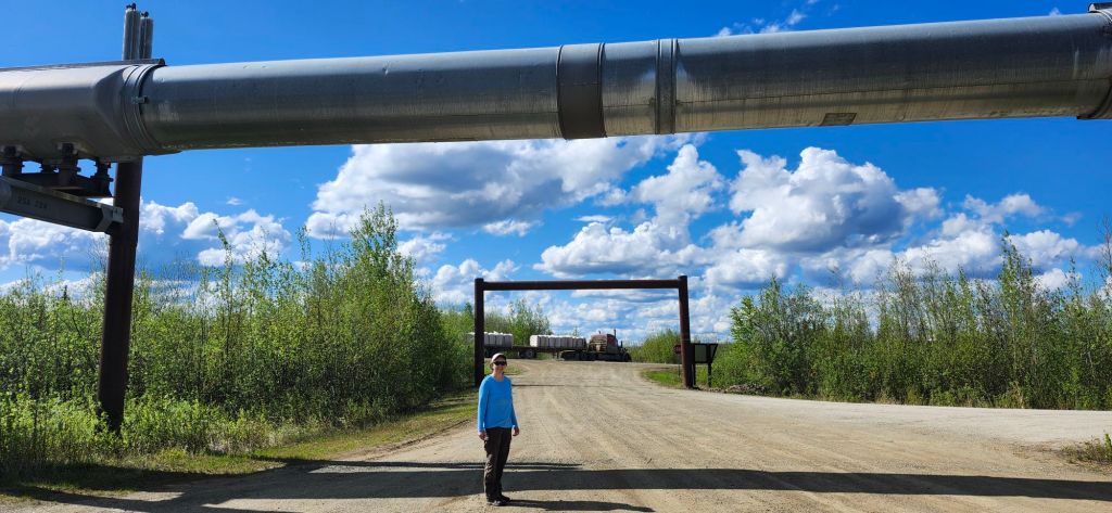
The pipeline weaves back and forth across the Dalton Highway, then continues south to Valdez. It is 800 miles long.
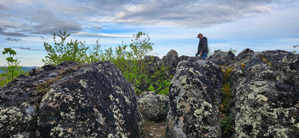

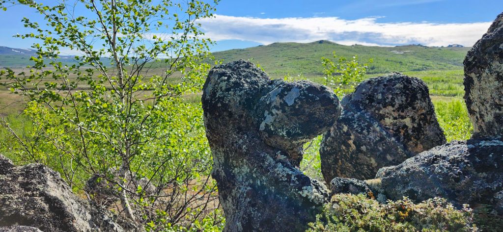
One of our favorite areas of the trip was the collection of tors around Finger Mountain. One of the tors looks like a pointing finger, hence the name (above photo is not that tor’s best angle).
Continuing north after the Arctic Circle, the highway passes through the Brooks Range. The mountains are beautiful, with Sukakpak being particularly photogenic.


The Brooks Range started well before Atigun Pass (the continental divide and highest highway pass in Alaska). The mountains also continued long after.
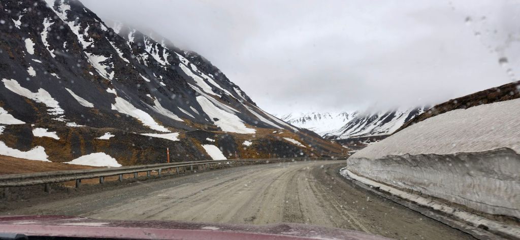
If it were easier to get to the Brooks Range, it would be a popular scenic destination. As usual, my photos don’t capture the grandeur. But I must say, there are many scenic areas in Alaska that are far easier to reach!

Leave a comment