
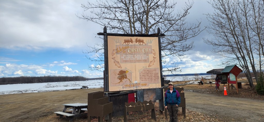
We left Eagle Summit mid-morning Saturday and slowly drove the remaining 55 miles to the end of the road at the Yukon River in Circle, Alaska.
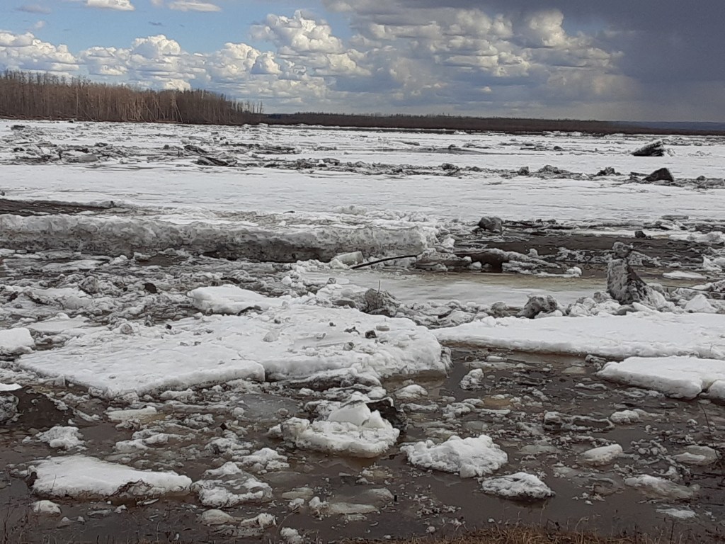
We were in the village about an hour before I realized that the significant river pictured above was just a small meandering arm of the Yukon River. What I thought was river bank is an island and the main river is on the other side of the island.
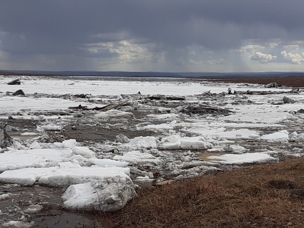
Villagers were constantly stopping by the river front. There had been some breakup drama that morning, including pushing these huge chunks of ice onto shore (see photo below).

People were preparing for flooding based on reports of a ice jam upstream. A local upstream said it was largest jam they had seen in 50 years. At the general store they were preparing & we chatted a bit. They had moved all of the items off the bottom 3 shelves & packed up a utility trailer if they needed to evacuate.
Six hours after we left, much of Circle was devastated in the worst (or second worst, TBD) ice jam flooding on record there. The water with huge chunks of ice was higher than my head in the above photo. Today there were reports relayed on public radio that the water was 6 to 8 feet high inside the store. At least one house is missing. Thanks to village preparation including evacuating elders & children, there were no injuries or loss of life.
Back to Saturday, while intensely interested in the fate of Circle, we got out of their way, driving back down the Steese Highway. We hoped to see some mammals, more birds, & perhaps pan for gold. To be continued…

Leave a comment